
Kitanglad - Dulang Dulang Traverse
Posted by kimboy After scaling the peaks of Mt. Apo, I traveled right away to Bukidnon for the second part of my "Mindanao traverse"; this is to conquer Mt. Kitanglad - 2899 MASL and Mt. Dulang-Dulang - 2938 MASL in Kitanglad Mountain Ranges.
DAY ONE: Jump off!
1430 ETA Kitanglad Junction, Brgy. La Fortuna, Impasug-ong, Bukidnon
Ride rented jeep to Sitio Intavas
1530 ETA Sitio Intavas
1800 Dinner at Barangay Hall
2200 Lights out
DAY TWO: Ascent to Mt. Kitanglad
0530 Wake up. Prepare breakfast.
0600 Start trek via exposed rough road

0800 ETA trailhead marker - Enter forest 0900 “Aerial roots”
1000 ETA "Big Rock"
1400 ETA Kitanglad summit
Go to DENR-PAMB Visitor Center (bunk-beds, electricity, stove, TV, CR, water available) 1300 Lunch
1400 Rest/Explore summit
1900 Dinner
2200 Lights out; prepare for tomorrow's traverse

DAY THREE:Traverse to Mt. Dulang-Dulang
0400 Wake up
Prepare breakfast and packed lunch
Final exploration of summit
Load up water as drinkable water source may dry up at the D2 summit.
0600 Start descent via Kitanglad summit ridge a.k.a. Kitanglad wall
0800 ETA Crash Site
0900 ETA Mt. Inablayan ridge (connection to Dulang-Dulang)
1100 Start ascent to Mt. Dulang-Dulang via near-vertical wall
1230 ETA Dulang-Dulang summit
Set camp at Manny's Garden (5 minutes from summit)


DAY FOUR: Descent from Mt. Dulang-Dulang and Back to CDO
0500 Wake up - Prepare Brunch
Final exploration of summit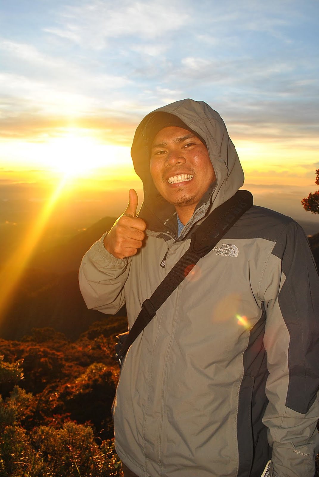

0800 Start descent
0830 ETA Plaza - Water source
1300 ETA Base of Mt. Dulang-Dulang
1330 ETA Sitio Bul-ogan (Brgy. Songco, Lantapan) 1400 Proceed to CDO and side trips
2000 ETA CDO - Stay at Budgetel CDO
http://budgetelcdo.brinkster.net/
DAY FIVE: Back to Manila
0600 Wake up
1600 Depart for CDO airport
1620 ETA CDO airport
1735 ETD NAIA 3 from CDO 1930 ETA NAIA 3 - End of Voyage!!!!
Costing:
DENR registration: P85 per pax
Sitio Intavas registration: P80 per pax
Transient home rent: P250 per pax
Group Costs
Guide/Porter Fee: P1500 guide/porter
(P500 per guide/porter per day, no food and tent yet)
Guide:
Kagawad Walter - 09196755019
Mt. APO via Kapatagan - Kidapawan Trail
Posted by kimboy
Reaching the
Day 1 – 15 August 2010
I started my first solo conquest at 0400H for a 1 hour and 45 minute flight to

I was able to obtain my climbing permit in less than 5 minutes unlike what nomadicpinoy.com have mentioned on his blog. I just handed my letter of intent, logged in to climbers log book and paid 720 pesos and I was good to go. After the early lunch with my guide and porter at Kapatagan Market, we took another Habal-habal ride to the jump off point in Sitio Mainit – this part was so extreme! Clap clap clap to the driver for handling his motor bike safely with four of us on board.
Muddy and Slippery Kapatagan Trail
Manila APO ! For the first time, I had my first clear view of Mt Apo’s boulders from the camp site. I was so glad that after the drizzling day 1, I have a sunny day 2 ahead.

Boulders and Sulfur Vents
Sulfur Vents 85 degree wall to Dead Crater

Oblation at the peak

Paradise Junction

Camp Baroring
We started to trek at around 1130H via the muddy and slippery trail and finally reached the first camp site – the godi-godi at around 1600H. Enough time to set-up the tent, cook dinner. I went to sleep at around 1800H after sleep deprivation and to prepare for the big day ahead. The temperature dropped at 12˚C for the night – far from 
Day 2 – 16 August 2010
Morning at Godi-Godi

We left camp 1 at around 0830H and after 30 minutes of ascend from the forested area an open view of the Digos’ peak, sulfur vents and boulder formations. I had most of my exposed skin burnt from this part but it was fun. Edible wild berries grow abundantly along the boulder trail along with other bonsai plants that will keep you think how it survived in this harsh environment.

Boulders and Sulfur Vents

Sulfur Vents
 85 degree wall to Dead Crater

Dead Crater

After about 2 hours of bouldering with the smell of a rotten egg from the sulfur vents I was able to reach “boracay” prior assaulting the 85˚ wall to the dead crater. From the crater, summit camp is only about 30 minutes away and finally I was able to set camp at around 1230H.
 Rock formation at the summit camp
 Lake Venado from the peak
I had enough time to go peak hopping alone and pose for the oblation shots while my guide and porter stayed back at the camp to prepare our early dinner. This is where I had the first glimpse of
Day 3 – 17 August 2010
On the third day, again swiss miss saved me from the early morning chill. I started peak hopping for the best sunrise view at around 0530H. First I ascended the
Sea of clouds from the peak

We stated to descend at 0700H via Kidapawan Trail. After 1 hour and 30 minutes knee wrecking descent we reached
Peak from the trail going to Venado Venado Trees
 Venado Trees

 With my guide Ronel and porter Dodong at Lake Venado

Stairs along Kidapawan Trail Rest at Marble River
 Rest at Marble River

River at Marble River Marble River
 Marble River

"Mainit" Hot Spring End of trek!!!
 End of trek!!!

I stayed at Lake Agko Resort for the night to pamper my tired feet and back after days of trekking. Room rate is at 300/night exclusive of breakfast or dinner.
Expenses:
Taxi from Airport to Ecoland Bus - 150
Bus from
Habal-habal from Digos – Kapatagan – 600
Habal-habal from Kapatagan – Brgy Mainit – 100/pax
Registration fee at Sitio Baras – 720
Guide – 500/day
Porter – 300/day
Habal-Habal from
Van from Kidapawan to
Contacts:
Guide: Ronel Mamac - 09197515988
Read more »
Makiling Traverse: Toughest Day Hike
Posted by kimboyJuly 25, 2010 - In preparation for my Mindanao "expedition" this August, I joined the Makiling traverse climb from Sto. Tomas Batangas to UPLB organized by Gideon Lasco - author of pinoymountaineer.com to guide Orang Gunung Kuala Lumpur (OGKL) mountaineering club.
 Jump off by Koi Grey
MakTrav is considered by many as the toughest day hike and the best mountain to train for major climbs. Personally this is the toughest day hike I've ever had.

 Peak by Koi Grey
The trek started at around 0715H from the jump-off point in San Bartolome, Sto. Tomas, Batangas. It was a gradual pace as I tailed the group. The weather was calm all the way until we finished our lunch and commenced trekking towards the peak. The rained poured down heavily at around 1330H that caused muddy and slippery trek. I reached the peak at around 1430 and I immediately descended after 15 minutes as I want to walk on "fresh" trail towards UPLB.
 Trail from Sto. Tomas Jump off
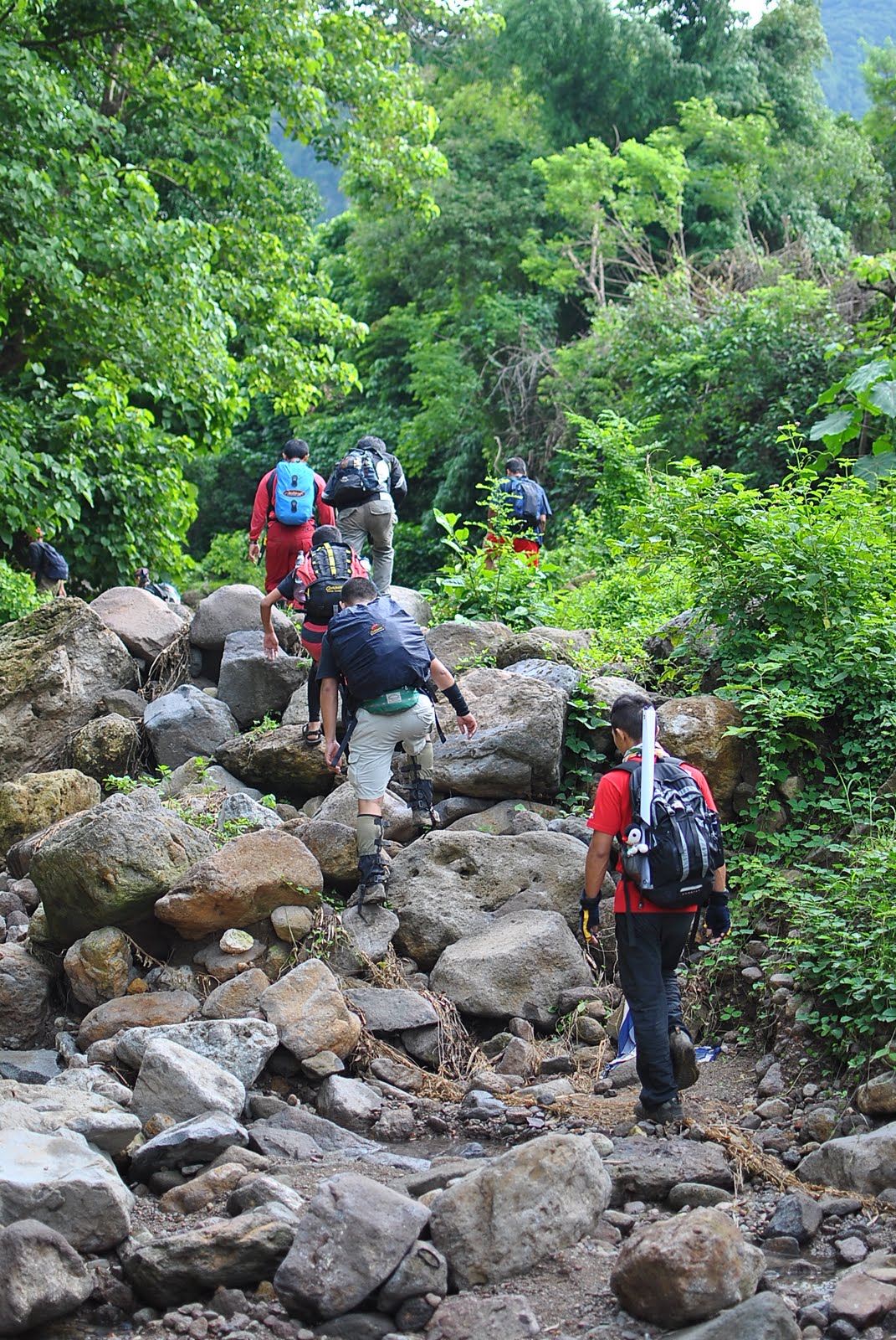


 Pitcher plant from Melkas Ridge
 Melkas Ridge by Mayan Gutierrez
 Melkas Ridge' Rope
The trek towards UPLB is the hardest part. It took me 2.5 hours to reach UPLB via a muddy and slippery trail.
 Trail down to UPLB